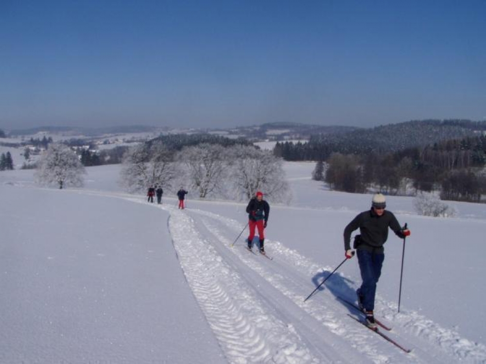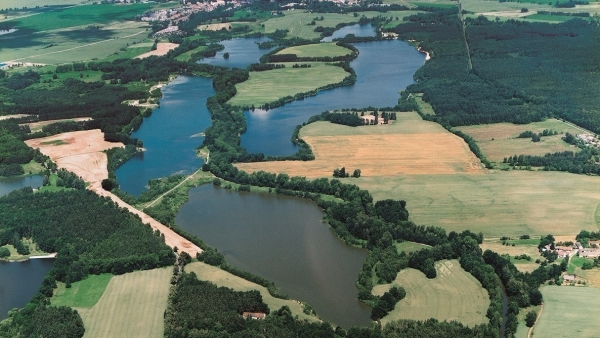
Nadějkov Educational Path (13.5 km)
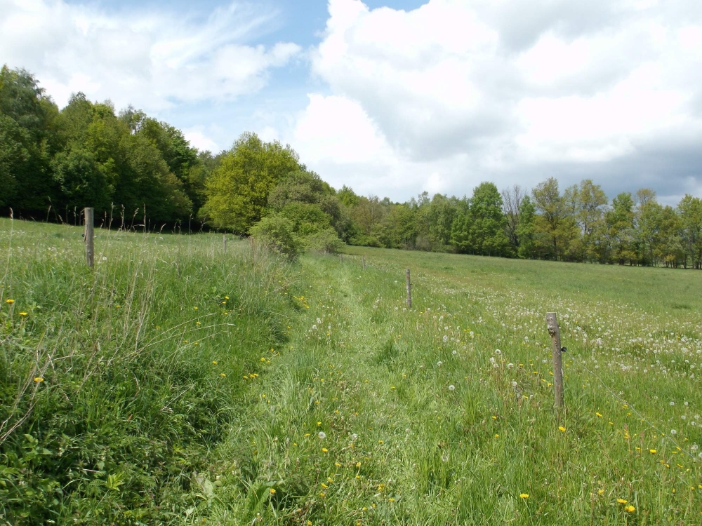
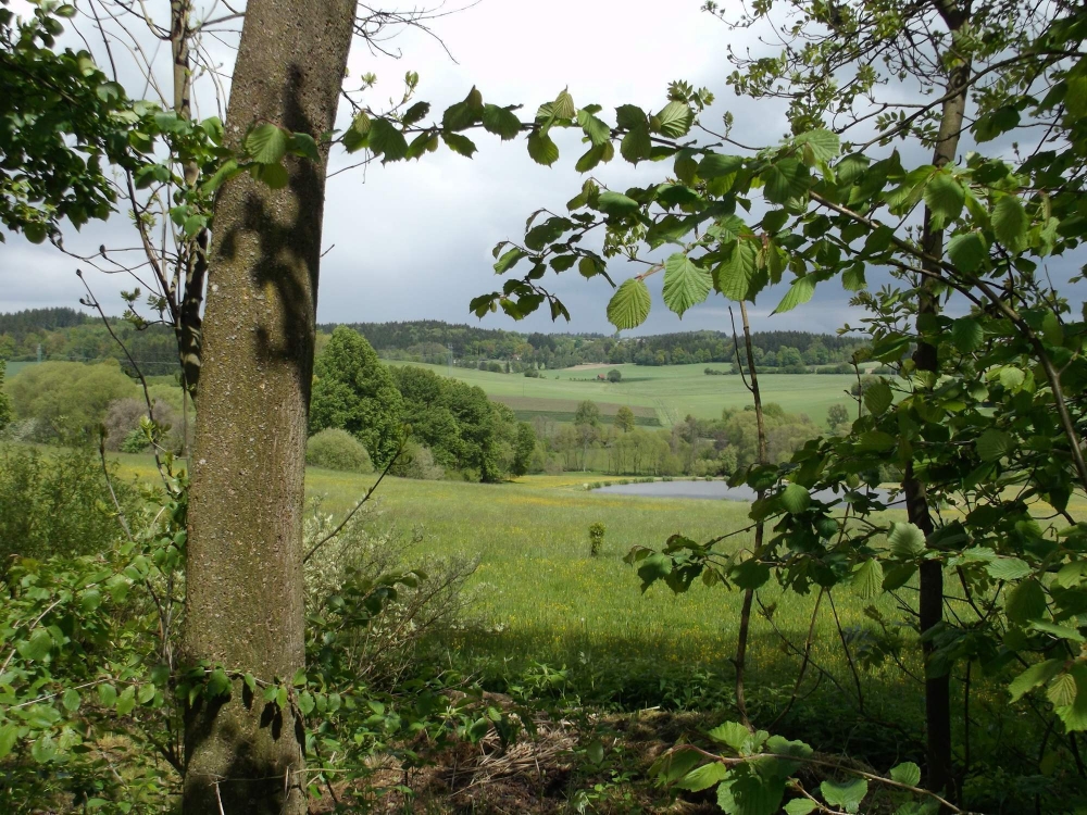
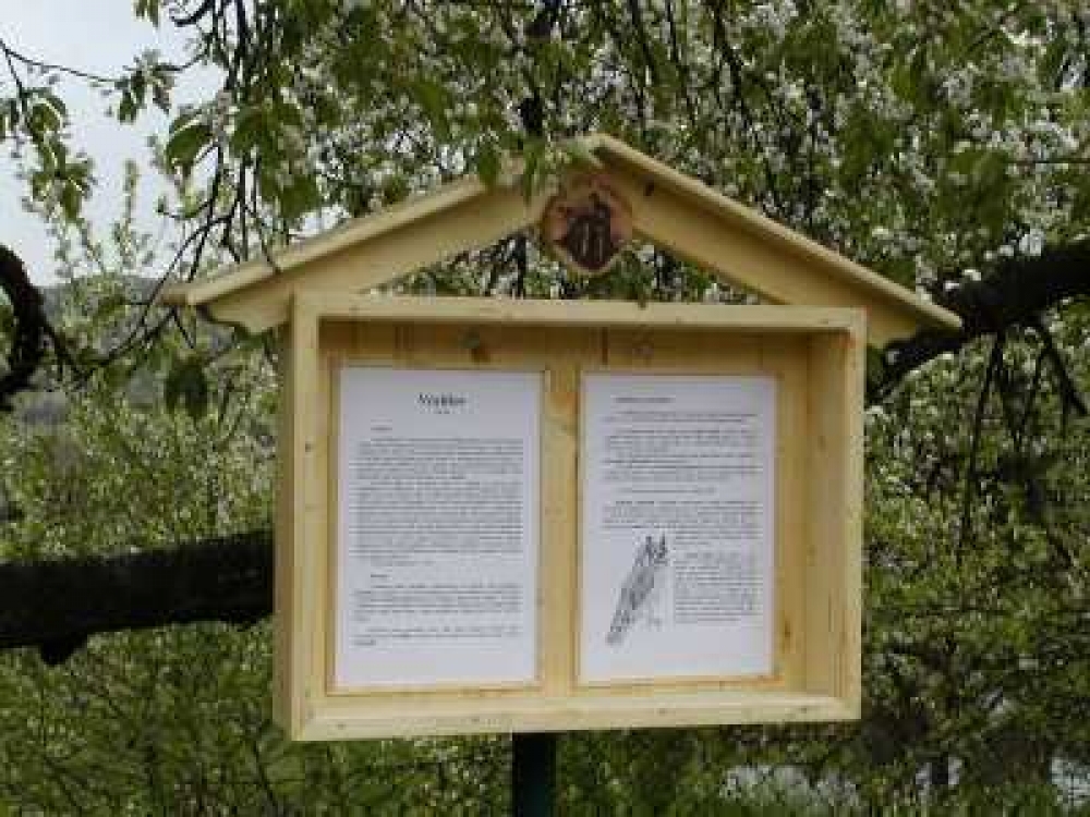
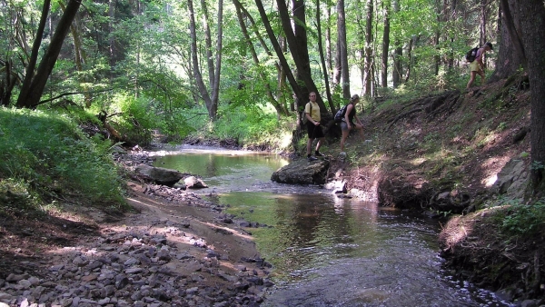
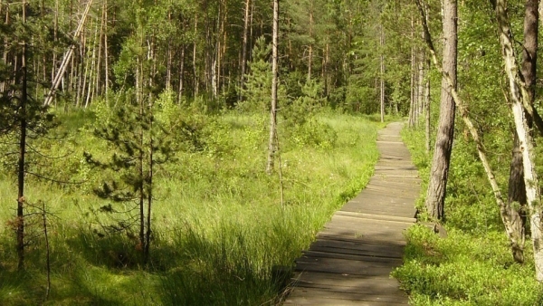
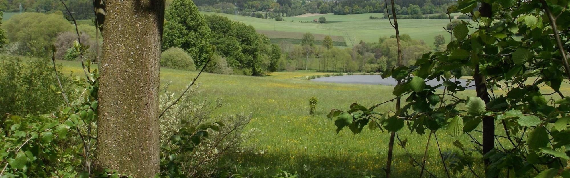
The path runs through the western and southern section of the surroundings of the village of Nadějkov. It is situated in the micro-region known as Čertovo Břemeno (The Devil´s Burden). Information boards at its 15 stops document the history of the village and its environs, and give information about the specific features of the landscape and the variety of plant and animal species.
The first board is located on the front wall of Nadějkov presbytery and the first sign to be followed along the path is situated in the lower section of the local square. The path, which is 13.5 km long, can be divided into two circuits. The first one includes stops 1-8 (from stop no. 8 you can walk back to Nadějkov along the road). The second portion of the path covers stops 8 – 15. The original purpose of the educational path was to prevent insensitive reclamation of the landscape. In connection with a petition against the deep underground storage of radioactive waste, a civic association called ‘A Well Preserved Region’ was established and this association, in cooperation with the amateur theatre group “Fikar” and the village of Nadějkov, marked the path and published a detailed guide.
Address / contact
398 52 Nadějkov
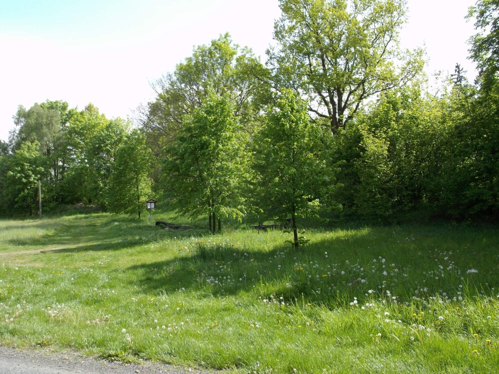
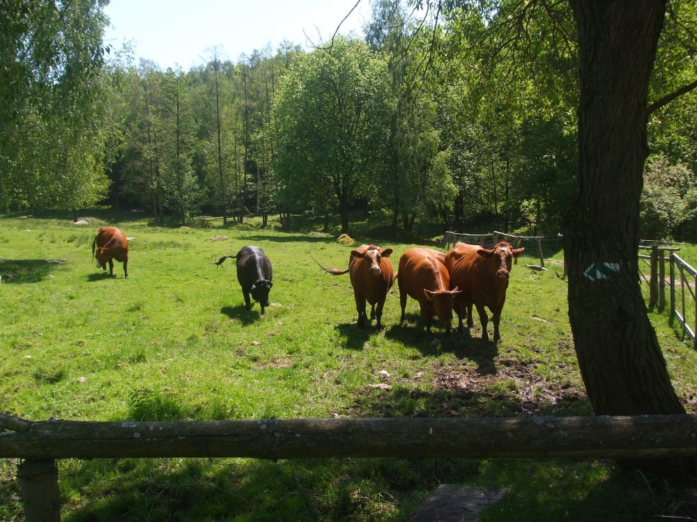
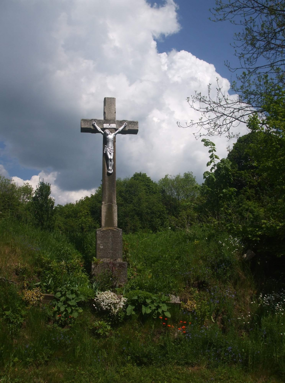
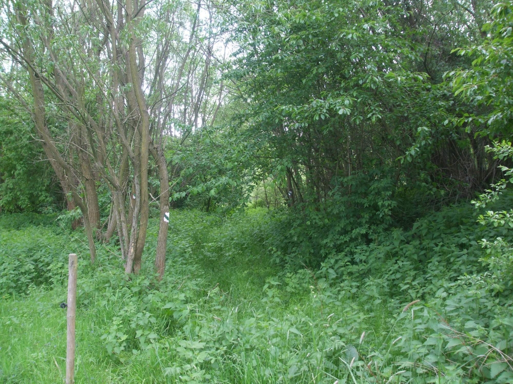
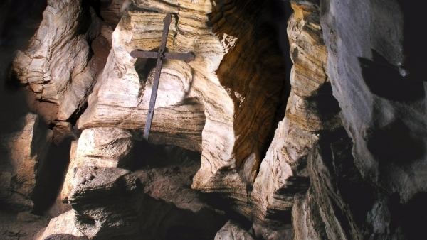
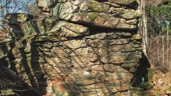
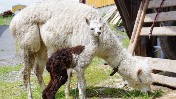
Photo Gallery